Erklas' walking trail in Pörtom is 2km if you walk it in both directions. It starts from Pörtom cemetery, coordinates ETRS-TM35FIN N: 6964124 E: 224240
Fållbäcks path goes through the forest in the South of Högåsen. It's a 6.5 km long walking trail that goes through different types of terrain and is marked with yellow marks. The beginning is located by Högåsen's sporting houses, coordinates ETRS-TM35FIN N: 6951949 E: 219851
In the wintertime the trail works as a skiing track
Info
The Goliatpath is about 18 km long, with excellent terrain and signs and yellow marks so that it is easy to find. The trail goes from Vargberget to the forest around Svartbäck where one can see maiden dances and other traces of ancient times. Coordinates: ETRS-TM35FIN N: 6942607 E: 215212
The southern path is 2.4 km long and the northern is 3 km. The paths are marked so they are easy to find and also meet each other, making a path of 5.4 km.
Outside Böle UF one can find a map of the nature walks, from there visitors may bring maps. By both the Southern and the Northern trail a parking spot is located. The Northern trail starts from Böle sandväg, drive on Bölevägen and then turn onto Böle sandväg for about 2 km before reaching the startingpoint. The southern trail starts from Mossvägen, ca 1 km South of Böle UF.
Info
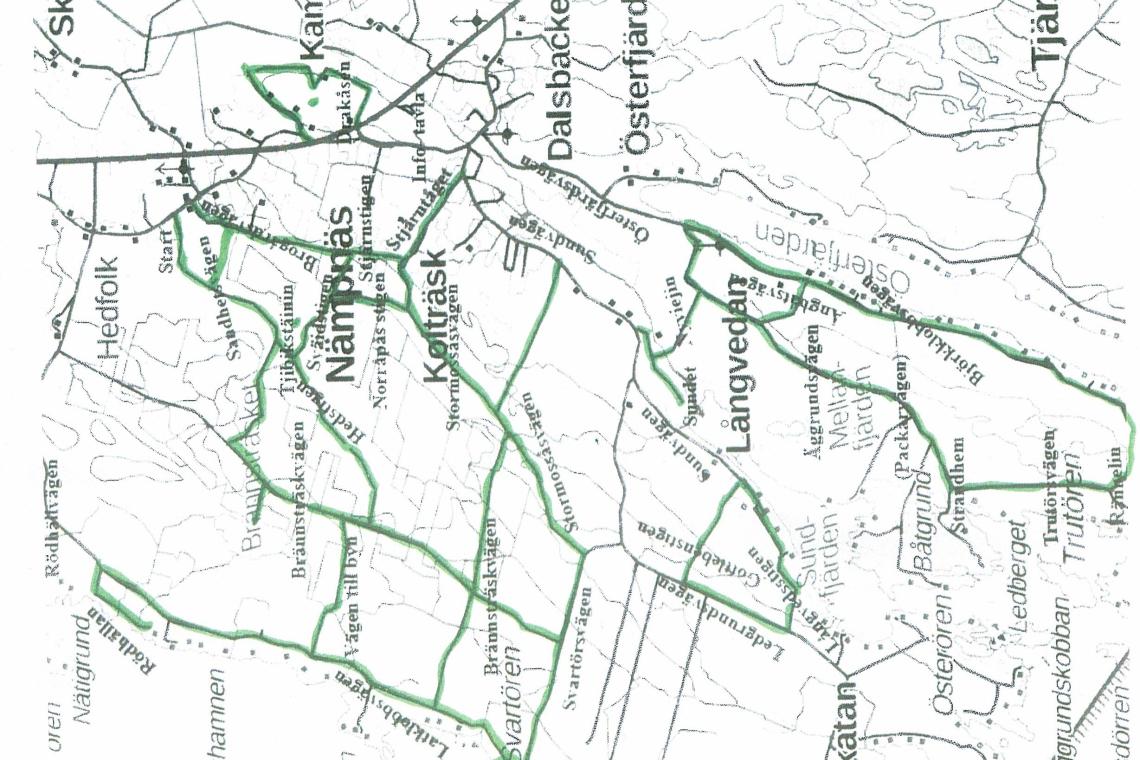
Nämpnäs hiking trails consist of many individual trails that together make up a nearly 50 km long path. The trail also includes some localhistory in seven seperate stops.
Info
Next to Öjskogsparken one finds Öjskogsspåret which is 2.5 km long. Coordinates: ETRS-TM35FIN N: 6938617 E: 207828
Info
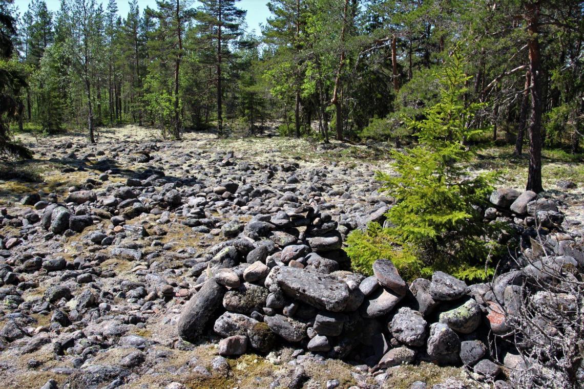
Raineåsen's walking trail reaches storstenrösback ancient graves and is about 1.5 km as a roundtrip. The start goes from the hunitngcottage by Raineåsen's forestroad in Pörtom, coordinates ETRS-TM35FIN N: 6969807 E: 220857
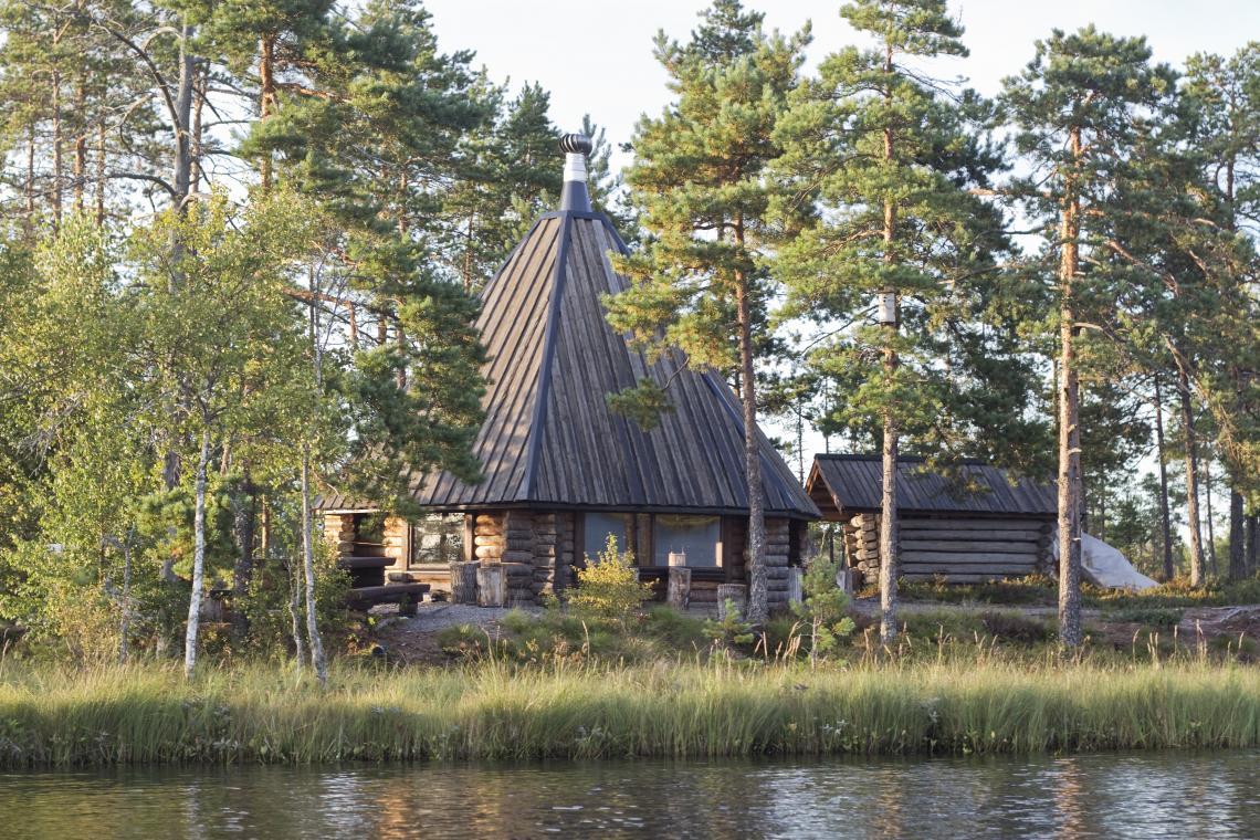
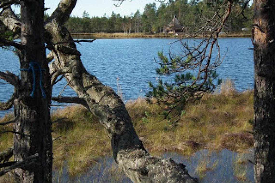
Risnästräsk's trail in Övermark, from here there is 0.9km to the grillcottage by Risnästräsket and 2.1 km around the swamp. The start goes from the parking spot by Heide forestroad, coordinates ETRS-TM35FIN N: 6963477 E: 214123
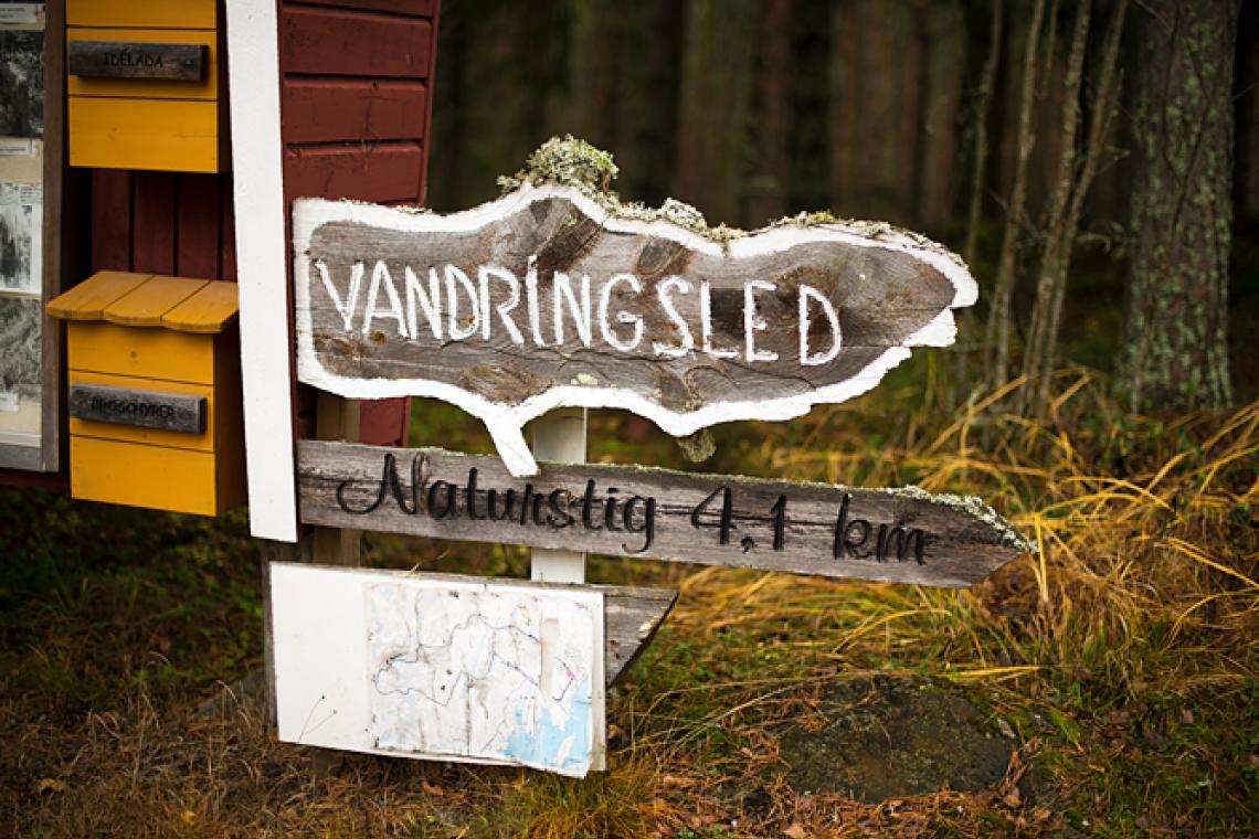
Tjärlax hikingpath is either 4,1 km or 1,7km depending on which route you take and is therefore suitable for many different people. The start goes from Tjärlax stugby. Coordinates: ETRS-TM35FIN N: 6936714 E: 201995
This hikingpath is next to nature that is quite unusual for these areas. One can also find Närpes' oldest tree.
Just under 3 km long. There are a lot of things to see by the trail, e.g. a cave and traces from the ice age. There is also a viewpoint where one can enjoy the view of Övermark or grill one's packed lunch. The trail starts by the folkmuseum but one can also start where the path starts by Bergsvägen 34. Maps are found in a box by both places, but the parking spots are better by the folkmuseum. Coordinates: ETRS-TM35FIN N: 6955016 E: 223288
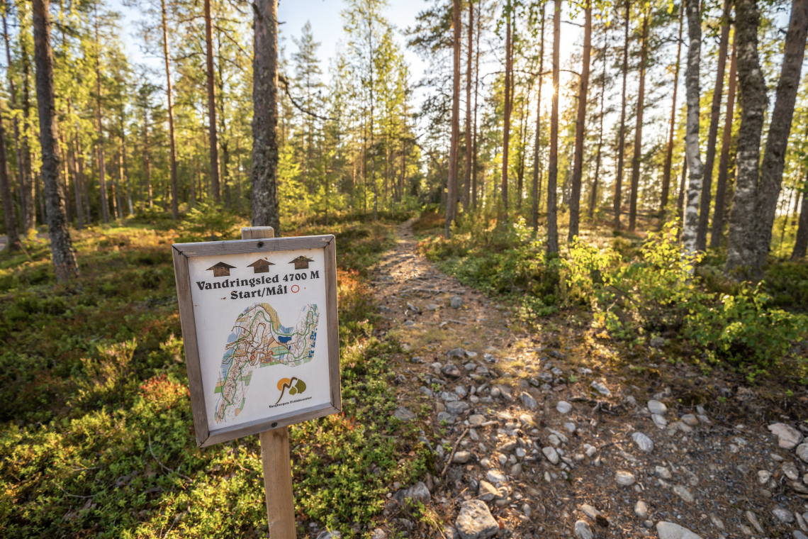
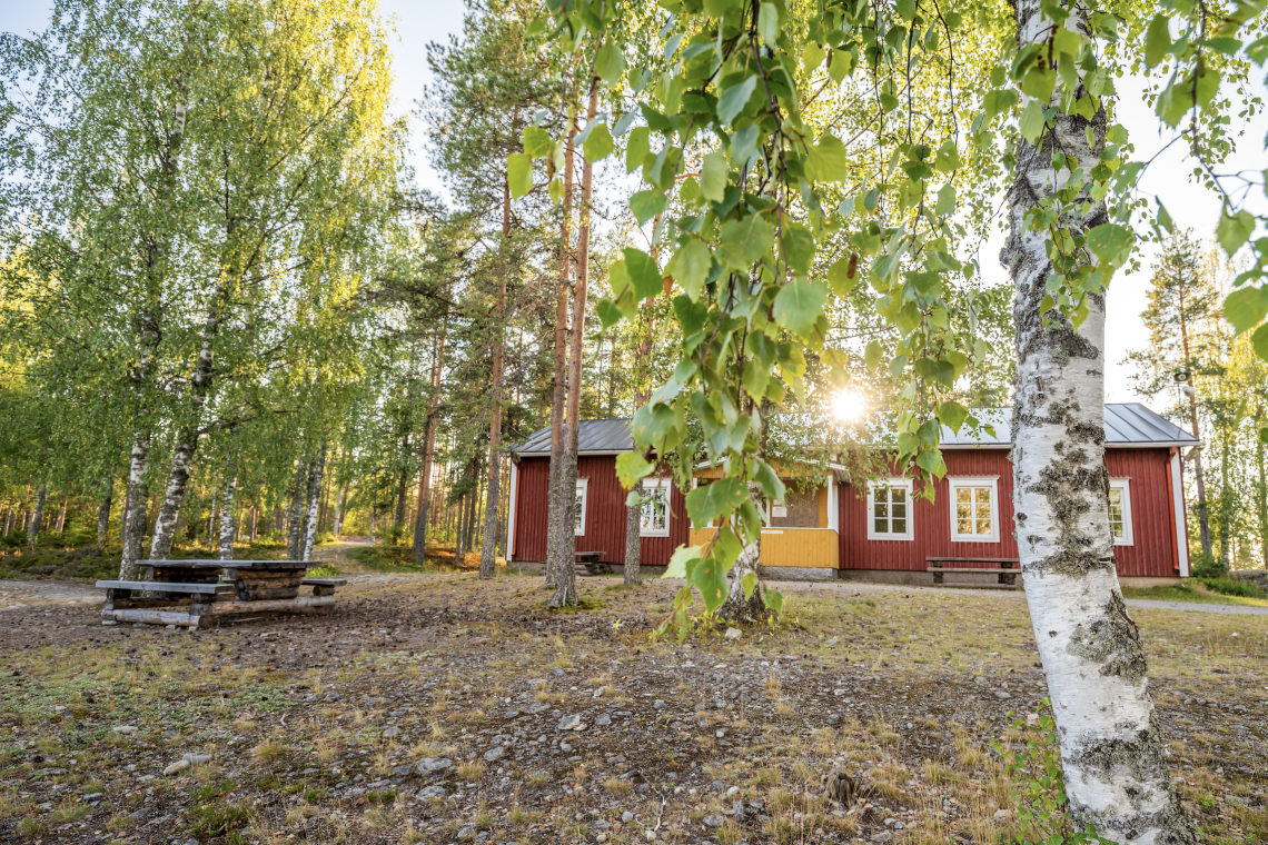
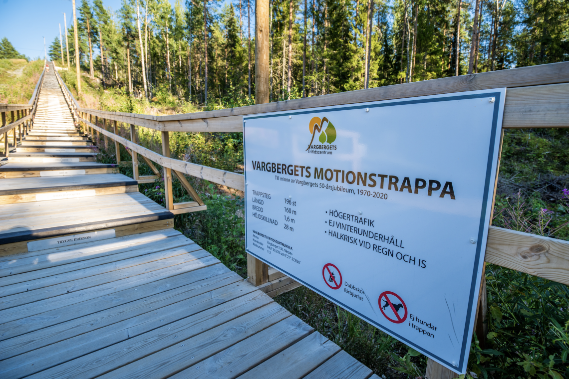
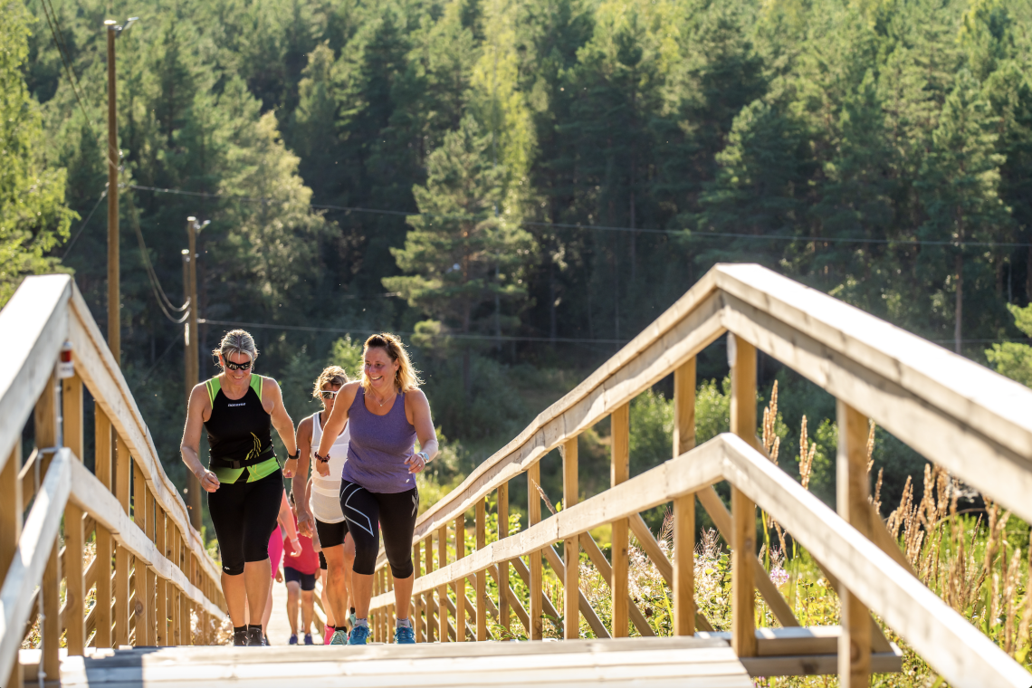
Welcome to enjoy all the beautiful thing located on Vargberget! Here one can find beautiful nature with hikingpaths of different lengths, a hilly skitrack, exercise stairs and a track for roller skiing. Here one can also find a skiingcabin for bigger groups, grillcottage, locker rooms with showers/sauna etc. The spaces are bookable.
Vargberget's naturewalk is 5 km and Goliatleden 17.8 km. Coordinates for the start: ETRS-TM35FIN N: 6942607 E: 215212
Every week a lot of different sporting teams train here, but the area is also frequently used by other people who want to exercise of all ages. Also families with children and schools enjoy the grounds.
Info
Velkmossa hiking trail starts on the other side of the road from Velkmossa villagehouse, Ribackvägen 94 and is 9 km as a round-trip. The path is marked by yellow marks in the terrain. By the trail, that goes to Viitala in Petalax, one can find ancient graves and old places of living. Coordinates: ETRS-TM35FIN N: 6971020 E: 215932: 215932

